Table of Contents
Map
Coordinates
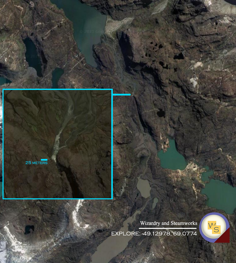
-49.12978, 69.0774
Description
Kerguelen Islands / Archipelago or Desolation Island, one of the most isolated place on the planet located in the sub-Antartic. This place is wild. Got all seasons, all terrain types, all topologies, all-in-one... You can find estuaries, marshes, snow, mountains, water, etc... A microcosmos of geography.
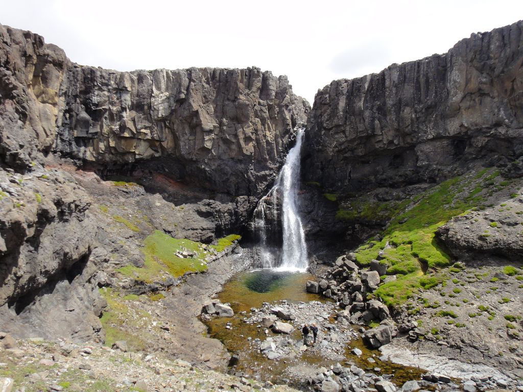
Best known (but probably not largest) waterfall is "La Grande Cascade de la rivière du Château", following the Rivière du Château river upstream to the mountains from Port-aux-Français at a  hour walk distance (the only inhabited place) at
 '49.2788 S / 70.1291 E.
... it pales, however, in comparison to the ...
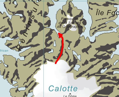
Largest waterfall, pictured in the map section, seems to be at about 49.12978 S, 69.0774 E, spans  (meters) in width and seems very intense: looking at the map, the waterfall unloads ice from the "Calotte Glaciaire Cook" (
 elevation), through a long winding and downward creek, next to the "Lac de Charmonix", into "Glacier Agassiz", then another smaller lake and finally ejects the water with great velocity (waterfall trail is about a
  water turbulence streak) into the estuaries that flow to the "Golfe Choiseul".
It's a glorious ice chute!
No images on the Internet of the waterfall. Ask the French to snap some!
For the contact, copyright, license, warranty and privacy terms for the usage of this website please see the contact, license, privacy, copyright.


